The Activation Area
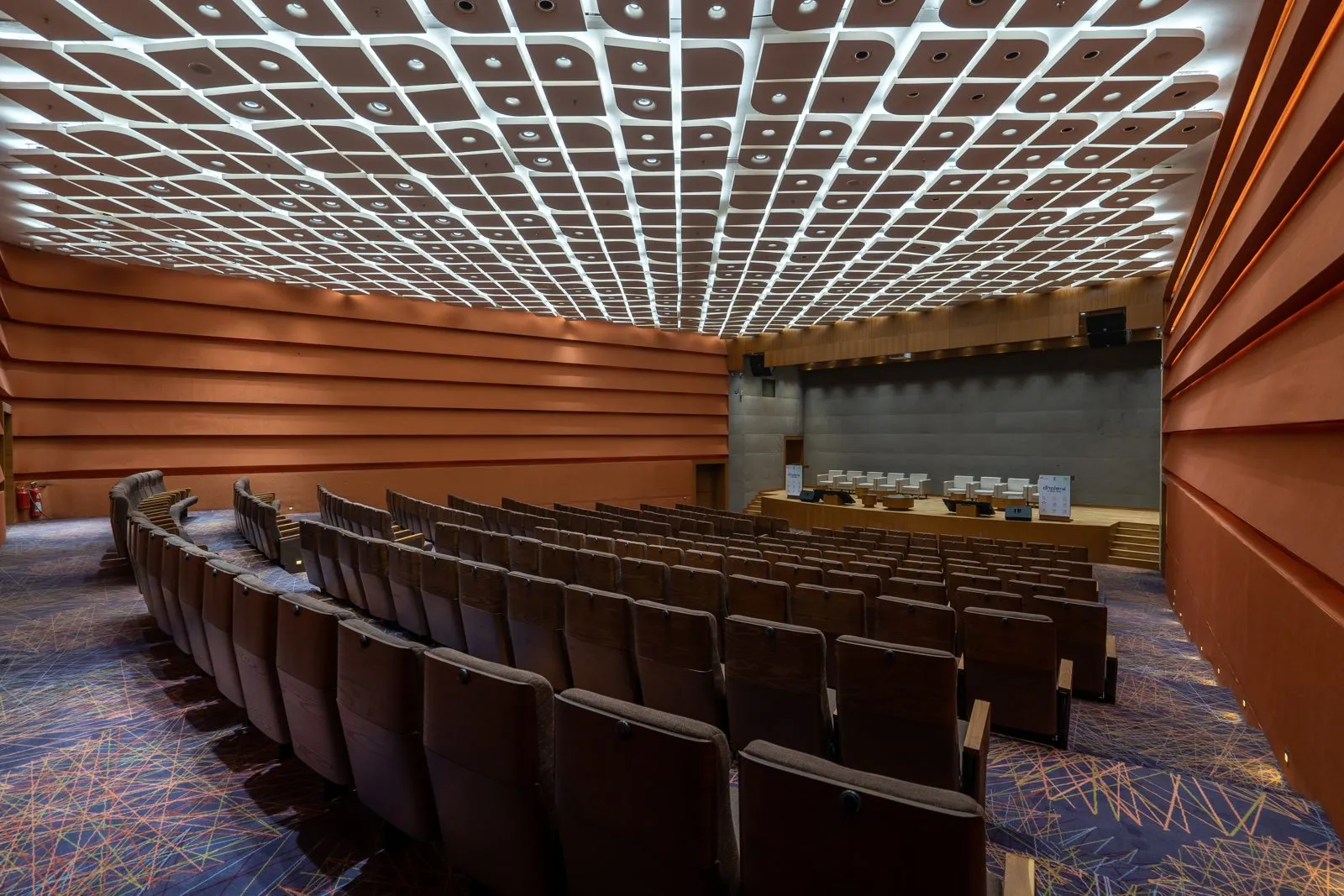
Every planned city needs a first square kilometre that proves the drawings. Dholera's answer was to build the utilities backbone of a whole district before the district's people arrive: plug-and-play land, in the authority's phrase. Whatever you think of renders, this part you can drive through.
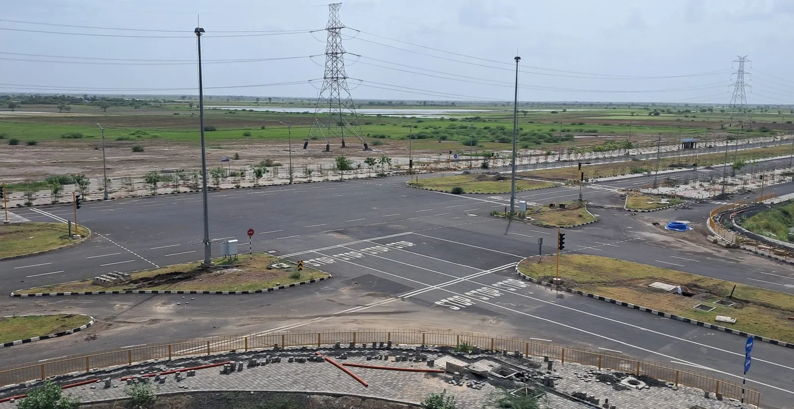
What is physically inside
Wide arterial roads that feel oversized today because they are sized for tomorrow; utility corridors underground (the visual tell of the zone is the absence of poles and cables); the ABCD administrative building whose ICCC runs water, power, lighting, surveillance and traffic systems; the canal that answers the Bhal's drainage question; and industrial plots in allotment, with 545 acres allotted per official mid-2026 reporting and TATA Chemicals a named anchor.
Why it is the value benchmark
Three reasons. Legality: it sits in sanctioned TP2, so the land framework is clean. Infrastructure: services exist now, not on a phase map. Scarcity: 22.5 sq km is small against the 422 sq km urban plan, and first-built cores hold a premium in every planned city on earth. This is why our shortlist briefs state distance-to-Activation-Area as a headline number, and why brochures that omit it usually have a reason.
The two honest caveats
First, the Activation Area is mostly an industrial and institutional core, not a retail residential estate; private residential projects cluster around and beyond it, trading distance for price. Second, the old 2020-era targets for its population lapsed, a fact we publish because targets that slipped are part of the record. The infrastructure did get built; the people are the next chapter.