Master plan and TP schemes
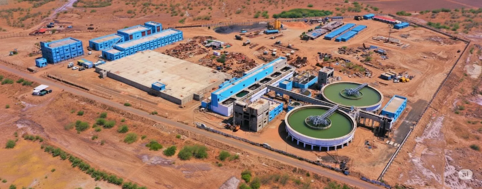
A TP scheme is Gujarat's quiet superpower: a legal mechanism that pools raw village land, carves out roads and public space, and returns serviced final plots to owners at defined percentages. It is how Gujarat built its cities without the land-acquisition wars other states fought, and it is the machinery underneath every legitimate Dholera plot.
The map in words
Picture the 422 sq km urban plan as three rings of two schemes each. TP1 and TP2 are the near ring, the funded ring, the ring with an expressway, a command centre and a fab in it. TP3 and TP4 are the middle ring on a 2023-2032 official horizon; TP5 and TP6 the outer ring to 2033-2042. The development plan zones the whole with a vocabulary worth recognising on brochures: City Centre, High-Access Corridor, Knowledge and IT, industrial (11,000 hectares in total), residential, logistics, solar park, green belt, CRZ and village buffers.
Six schemes, three rings, thirty years
What TP status changes for a buyer
Legality. Inside a sanctioned scheme, land is treated as N.A.; outside, agricultural land needs individual conversion before legal construction. This one distinction separates most clean Dholera offers from most problematic ones.
Serviceability. TP schemes carry the planned road and utility grid. A final plot number inside TP2 connects to infrastructure logic; a survey number in an unsanctioned pocket connects to hope.
Value sequencing. Phases are a published order of government attention. Near-ring land earns infrastructure first; outer-ring land waits by design. Price should reflect the ring, and our shortlists say which ring, every time.
Questions to fire at any brochure
Which TP scheme, and is my plot a final plot in it? What is the zoning of this exact parcel? How far is the Activation Area in driven minutes? If the answers do not come with document references, you have your answer about the project. When they do, we verify them against the sanctioned plan.