Villages and areas of Dholera
Brochures drop village names as flavour: Kadipur, Pipli, Bhadiyad, Otaria. Buyers should hear them as coordinates awaiting verification. Here is how to listen.
The geography in one paragraph
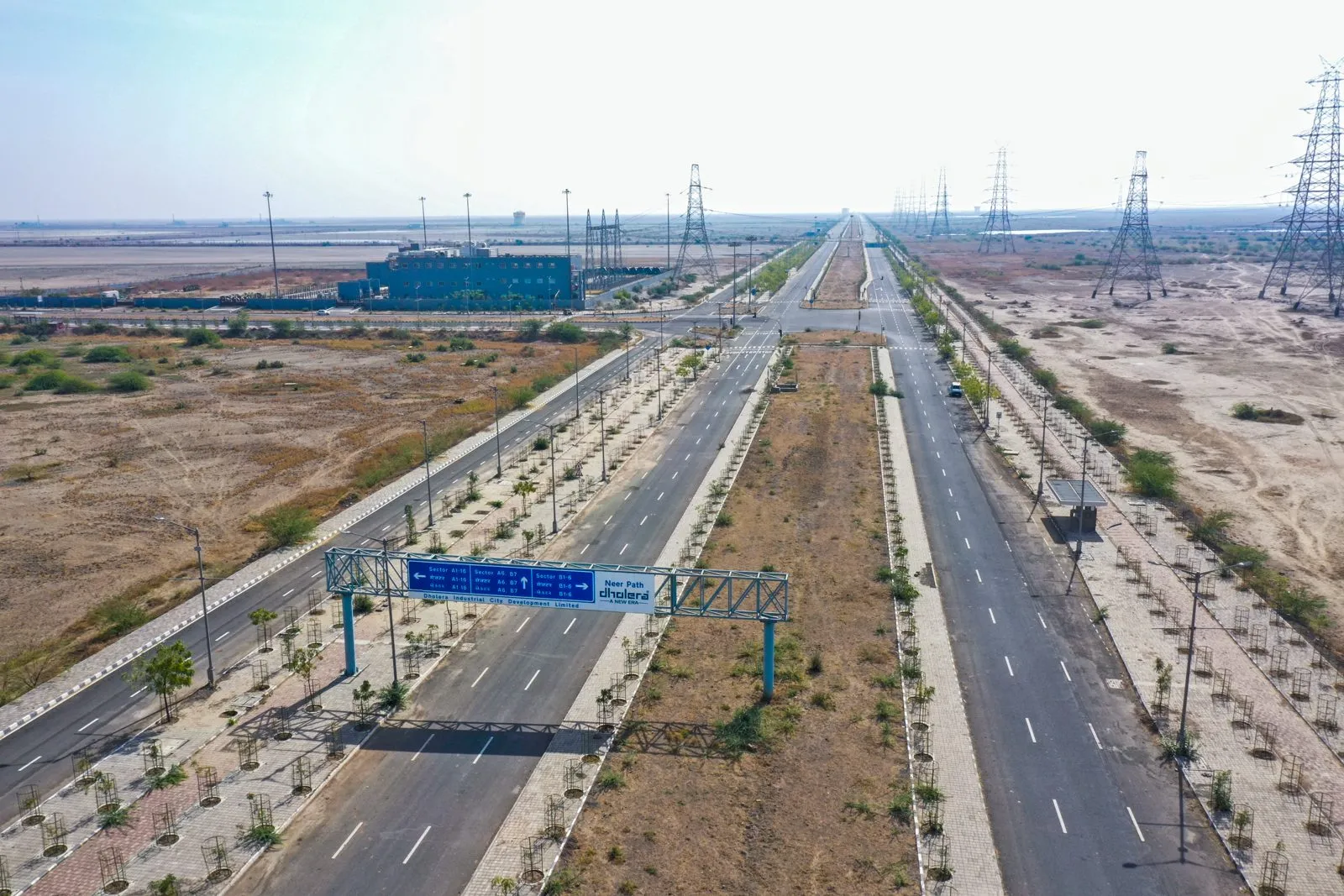
This is the Bhal: pancake-flat coastal land between the gulf and the Ahmedabad plain, historically salt-touched agriculture, thinly populated: the 2011 census's village-scale numbers are the honest baseline against every population promise. The flatness is why a master-planned city is buildable here at all; the coastal lowness is why CRZ zones and drainage engineering (the canal, the stormwater design) recur in every serious planning document. Land that is easy to draw on is also land where water management is the quiet test of a layout's seriousness: on site visits, monsoon evidence is on our checklist for exactly this reason.
Names you will meet, and what they signal
Dholera village: the namesake and historic anchor, with the temple and the Satyagraha history (an April 1930 salt-law action led by Amritlal Seth and Balwantrai Mehta, with poet Jhaverchand Meghani among the recruiters, per the Gujarati Vishwakosh record). Kadipur: recurs in genuine RERA registrations (see the worked examples), signalling an active plotted-project cluster. Pipli: the airport's neighbouring geography (the first trial landing was reported near Pipli), and therefore also the epicentre of airport-adjacency marketing, where inside-versus-outside discipline matters most. Lothal (outside the SIR, ~36 km): the Harappan dock site anchoring the National Maritime Heritage Complex, a heritage-tourism neighbour the rail approval explicitly connects.
Names are claims; survey numbers are answers
Turning names into checks
Every village mention converts to three written questions: which village and survey number exactly; inside the notified SIR boundary and which TP scheme, with reference; and what does the 7/12 for that survey number show. The boundary guide and records guide operationalise them. Villages are lovely; coordinates close deals.