CRZ, drainage and the monsoon question
We rank this among the most useful pages on the site because it is the query with almost zero sourced answers anywhere: is Dholera flood-prone? Here is the adult version.
The geography, without cosmetics
Bhal country is pancake-flat former sea-margin land: superb for master-planning, inherently slow-draining, monsoon-pooling by nature. The CRZ share means significant coastal-side acreage carries use restrictions by law. None of this is disqualifying (much of the world's planned coastal development shares the profile); all of it is why drainage engineering is the quiet test of every serious layout here, and why this site's visit checklist includes monsoon evidence explicitly.
What the plan does about it
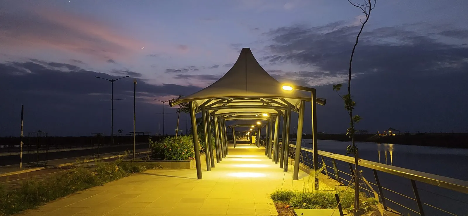
Three visible layers. The canal: the Activation Area's 6.5 km stormwater canal (photographed on our homepage) is the flagship drainage spine, sized for the zone's runoff and doubling as public realm. The grid: internal roads are built with integrated stormwater networks feeding that spine, which is precisely the infrastructure the 72 km road network's cross-sections carry. The zoning: green belts, water bodies and CRZ buffers absorb what built zones shed. Open items stay open honestly: long-range water supply concepts (desalination talk) and district-level systems beyond the Activation Area are future-phase engineering, labelled as such.
The engineering answer, in one loop
The plot-level checks that settle it for YOU
Corridor-level engineering does not waterproof any individual plot; position does. Four checks: plot elevation and grading relative to the internal road (visible on site, ask for levels); the layout's own drainage plan in its sanctioned documents (it must exist, ask to see it); monsoon photographic evidence (visit after rain, or demand dated photos; waterlogging marks do not lie); and CRZ status for coastal-side parcels (in writing, against the zoning). A seller fluent in these four is a seller worth your time; a seller who answers "no water problem, sir" has answered a different question. This is exactly the diligence our verification desk runs.